
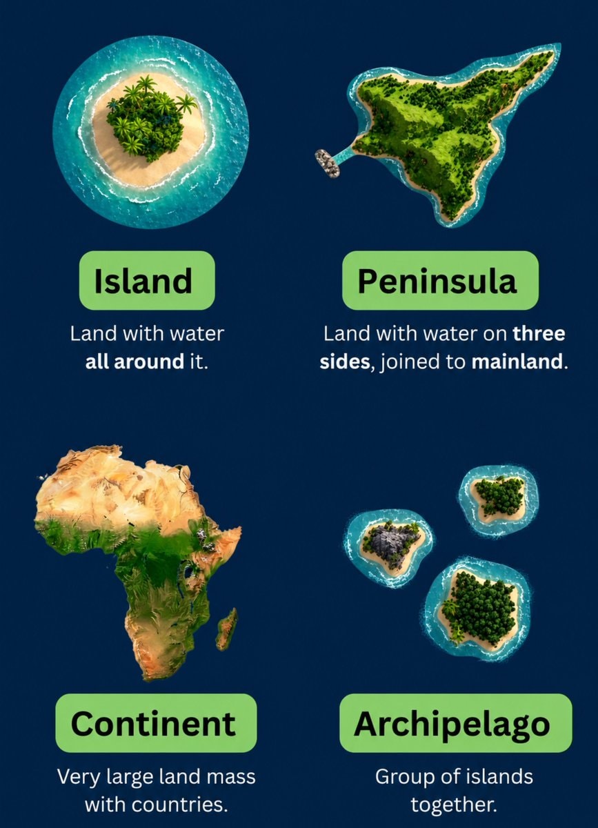
@scarlett_sThis infographic breaks down the four main landforms in a way that actually sticks. island, peninsula, continent, archipelago, simple definitions, clear visuals. good reference
원본 게시물 보기@scarlett_sThis infographic breaks down the four main landforms in a way that actually sticks. island, peninsula, continent, archipelago, simple definitions, clear visuals. good reference
원본 게시물 보기@scarlett_s님의 사진· Jul 28, 2026· Education
The image is an infographic with four distinct sections, each illustrating a geographical landform. The top left shows an island, the top right a peninsula, the bottom left the continent of Africa, and the bottom right an archipelago. The style is clean and educational, with vibrant, almost cartoonish renderings of the landmasses against a dark blue background. Each section has a green label and a brief definition below it. The definitions are: "Island: Land with water all around it.", "Peninsula: Land with water on three sides, joined to mainland.", "Continent: Very large land mass with countries.", and "Archipelago: Group of islands together."
 2College student graduation cap serious expression
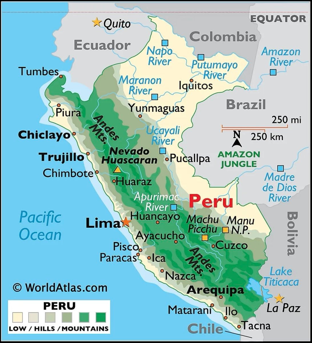 Peru map and country facts
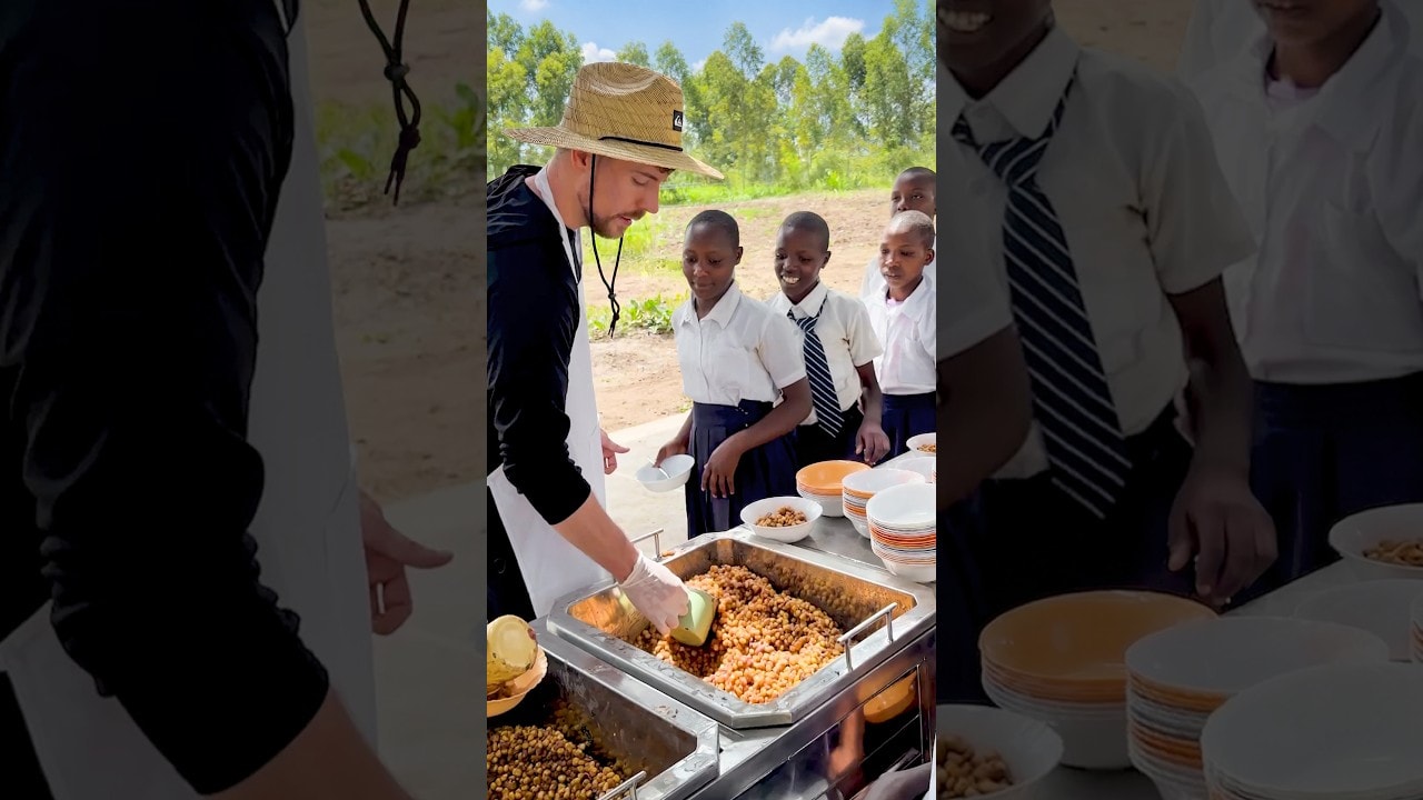 School lunch program for all kids
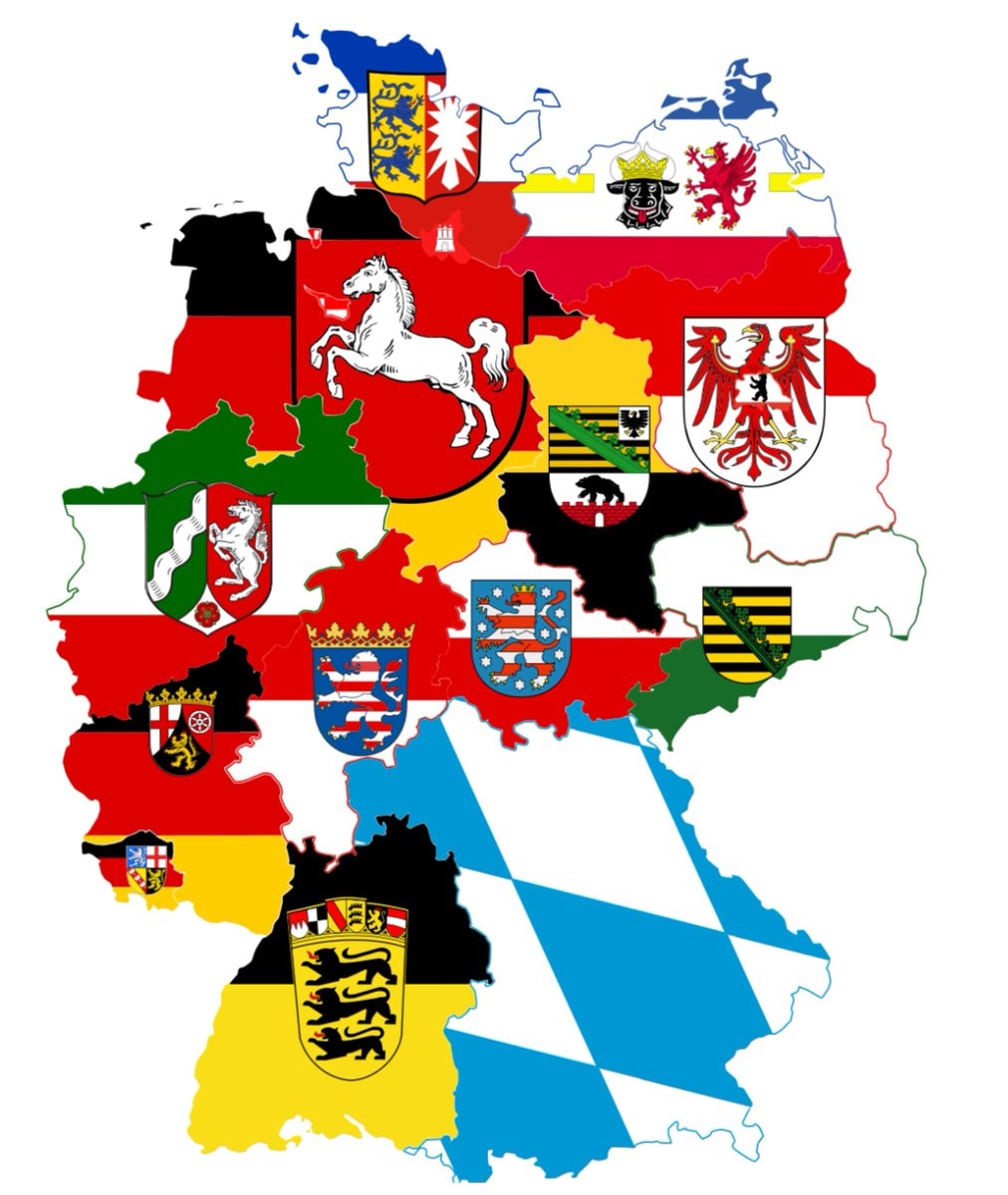 germany sixteen states
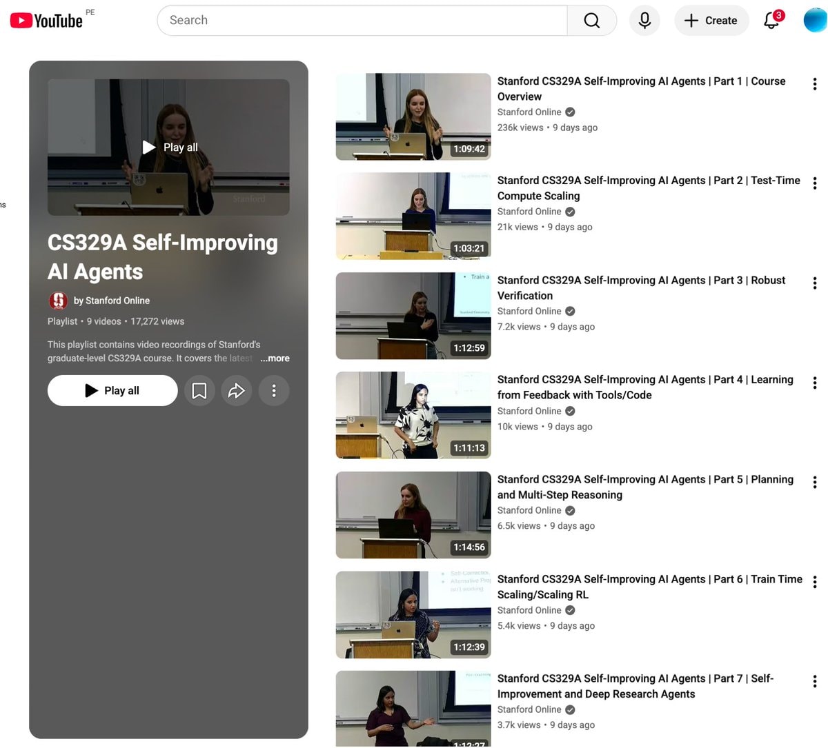 Stanford CS329A Self-Improving AI Agents
 slavery to family meme
 2Study on literacy scores by state
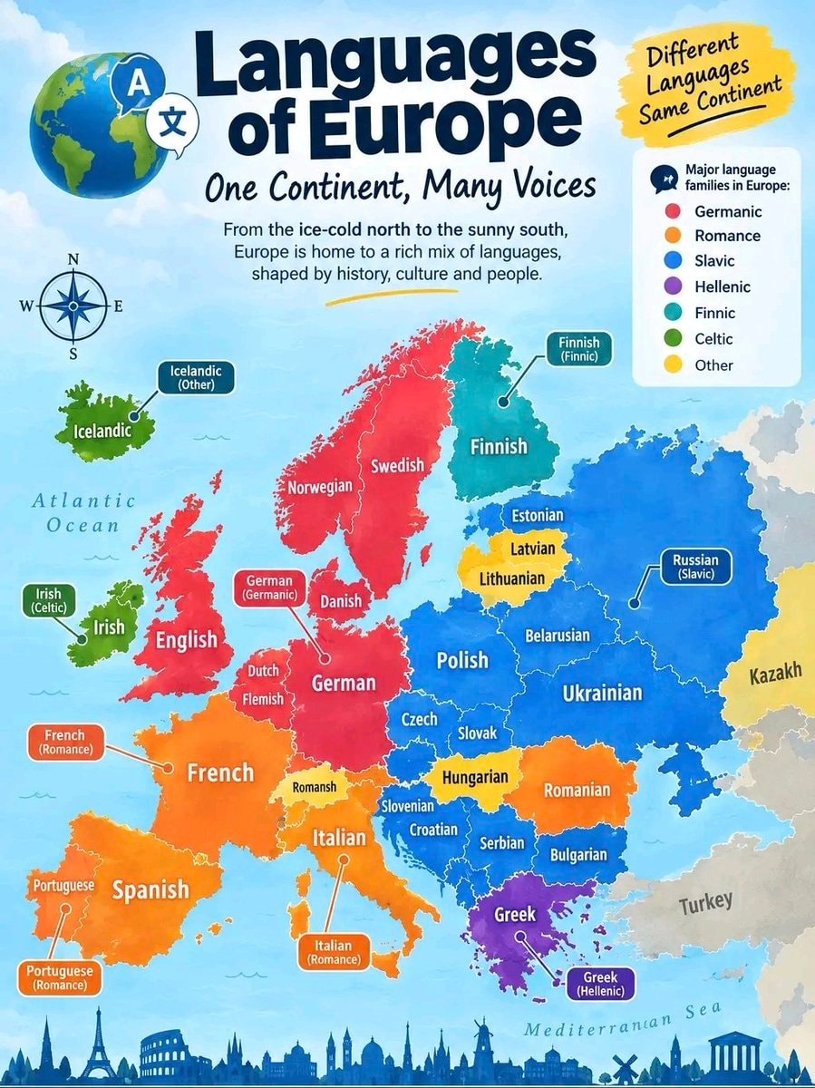 Languages of Europe infographic
 Gen Z trade salary view
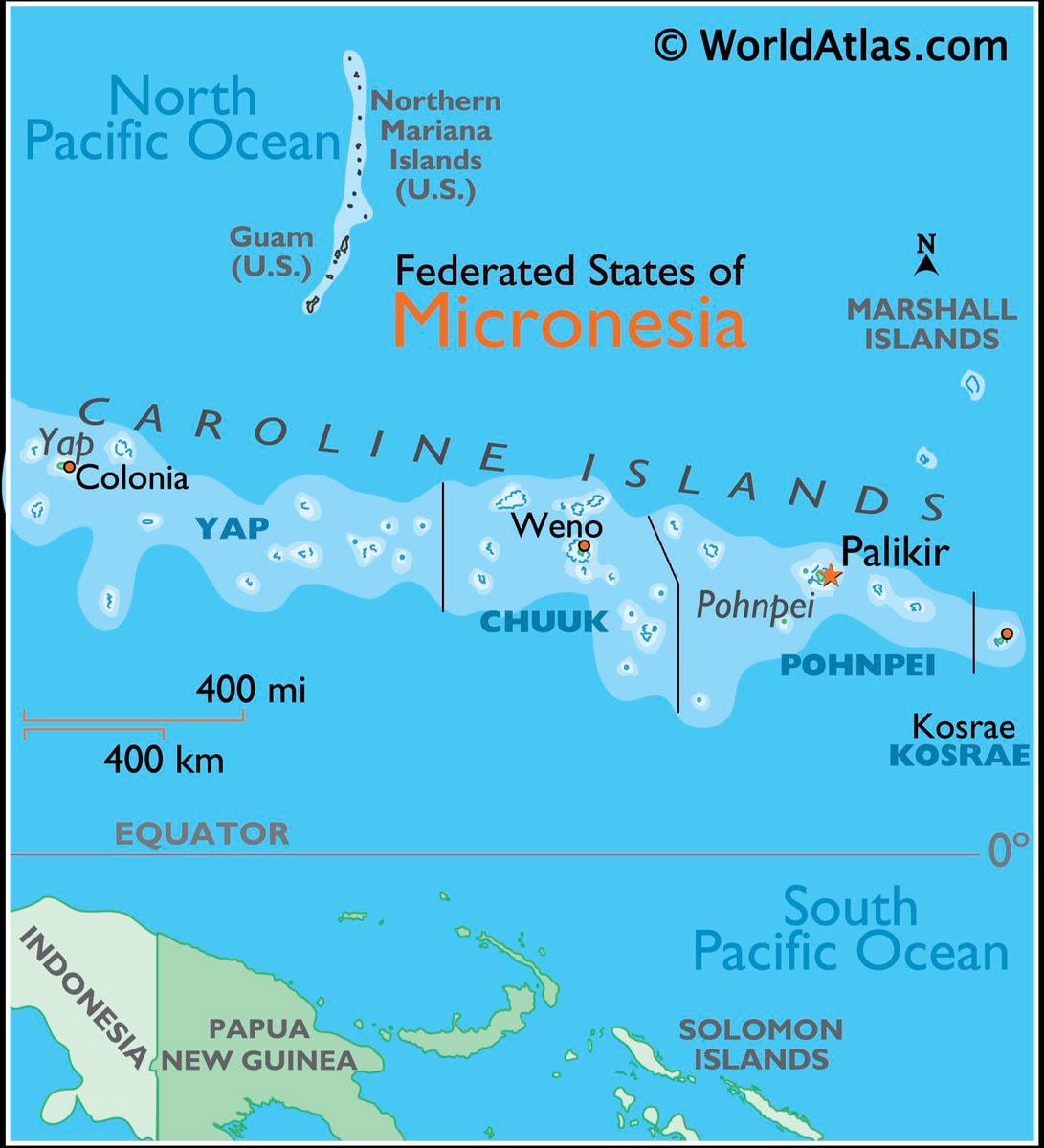 Micronesia map and facts
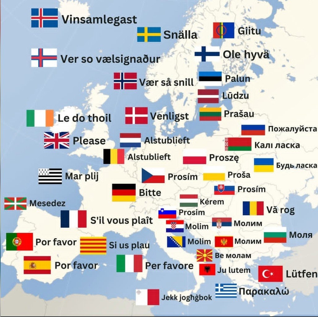 How to say Please in Europe
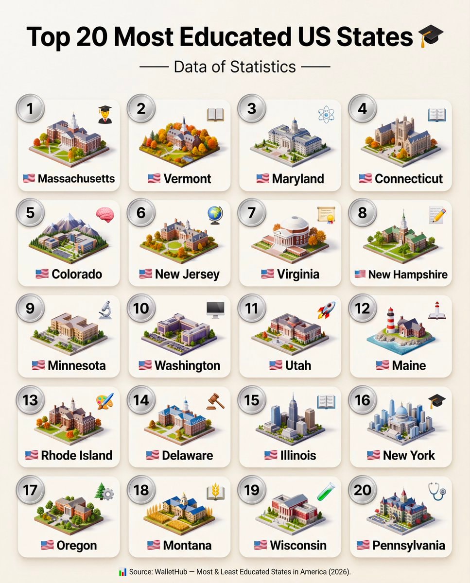 Top 20 Most Educated US States 2026
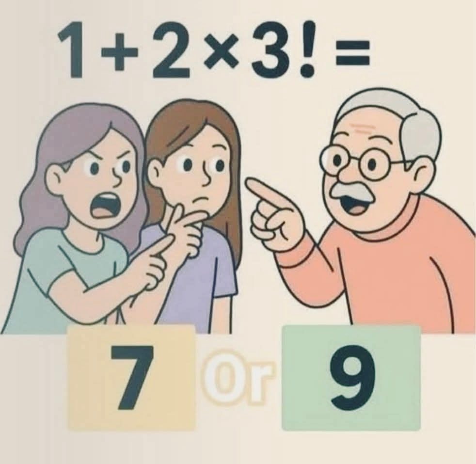 cartoon scene with three characters and a math problem
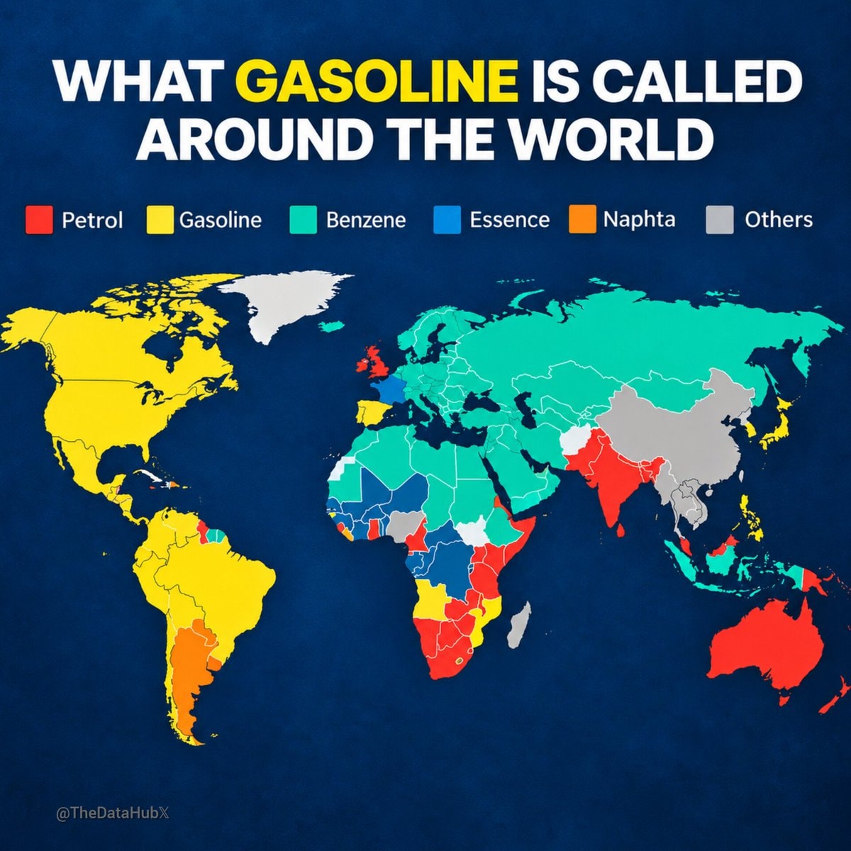 WHAT GASOLINE IS CALLED AROUND THE WORLD
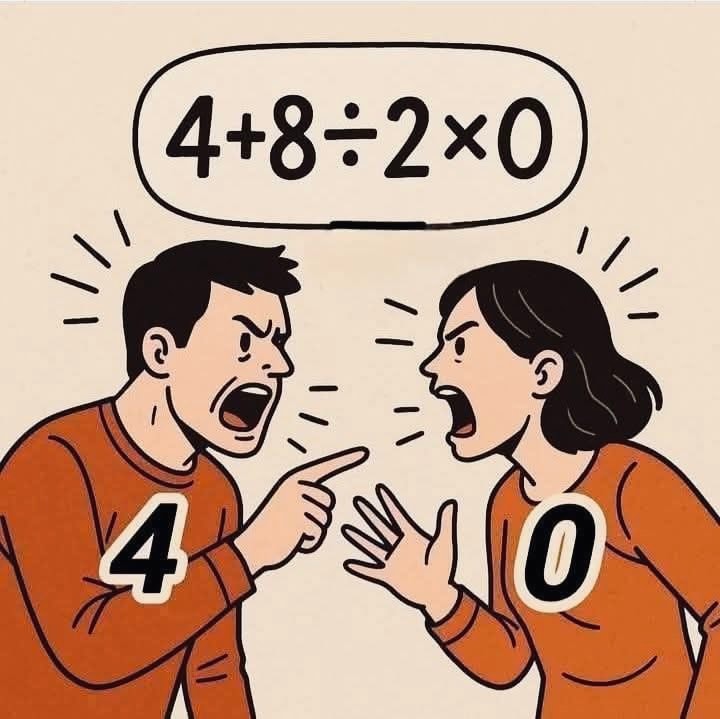 cartoon couple arguing
 SpaceXAI GrokBot course
 Walter Lewin on physics classes
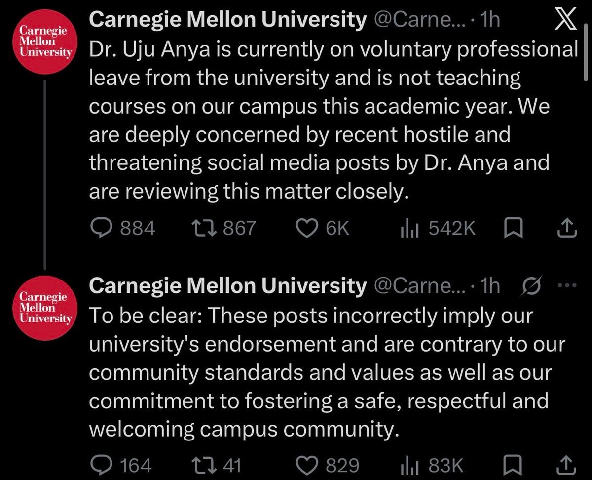 Carnegie Mellon University Dr. Uju Anya statement
@scarlett_sThis infographic breaks down the four main landforms in a way that actually sticks. island, peninsula, continent, archipelago, simple definitions, clear visuals. good reference
원본 게시물 보기@scarlett_s님의 사진· Jul 28, 2026· Education
The image is an infographic with four distinct sections, each illustrating a geographical landform. The top left shows an island, the top right a peninsula, the bottom left the continent of Africa, and the bottom right an archipelago. The style is clean and educational, with vibrant, almost cartoonish renderings of the landmasses against a dark blue background. Each section has a green label and a brief definition below it. The definitions are: "Island: Land with water all around it.", "Peninsula: Land with water on three sides, joined to mainland.", "Continent: Very large land mass with countries.", and "Archipelago: Group of islands together."
아직 댓글이 없습니다. 첫 댓글을 남겨보세요!
2College student graduation cap serious expressionPeru map and country factsSchool lunch program for all kidsgermany sixteen statesStanford CS329A Self-Improving AI Agentsslavery to family meme2Study on literacy scores by stateLanguages of Europe infographicGen Z trade salary viewMicronesia map and factsHow to say Please in EuropeTop 20 Most Educated US States 2026cartoon scene with three characters and a math problemWHAT GASOLINE IS CALLED AROUND THE WORLDcartoon couple arguingSpaceXAI GrokBot courseWalter Lewin on physics classesCarnegie Mellon University Dr. Uju Anya statement
아직 댓글이 없습니다. 첫 댓글을 남겨보세요!